Cliffs of Moher in 3D
County Clare · 214 m above the Atlantic
County Clare, on the Atlantic coast of Ireland
The Cliffs of Moher rise to 214 m and run 14 km along the Atlantic. Their layers are a 320-million-year-old river delta, tilted and sliced open by the sea. O'Brien's Tower was built in 1835 as a viewing point, and puffins, razorbills and guillemots nest on the ledges and the sea stack Branaunmore in spring.
Key facts
- Where
- County Clare, on the Atlantic coast of Ireland
- Height
- Up to 214 m
- Length
- About 14 km
- Rock
- A 320-million-year-old river delta of shale and sandstone
Walk Cliffs of Moher in 3D
A real-time 3D model, built from open elevation data and published measurements. Loads 3.1 MB when you start.
Works in VR on Meta Quest and other WebXR headsets: open this page in the headset's browser, start the 3D walk, then choose View in VR.
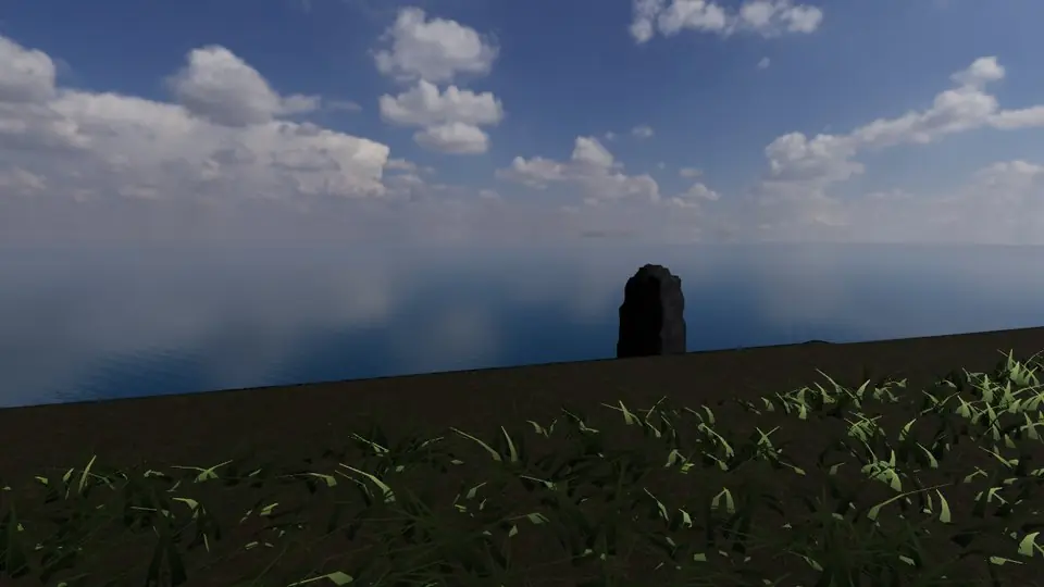
Walk it yourself. Works on this phone.
Part of the Celtic Shores pack: a one-time unlock in this browser.
Building Cliffs of Moher…
Terrain from open elevation data · a 3D reconstruction, not a photograph · tags as in the app
Hear the guide
The narrator from the app reads each tour stop. Transcripts below.
-
Two hundred metres of shale and sandstone
KnownThe cliffs rise to 214 m at their highest and run 14 km along the Atlantic. The layers are a 320-million-year-old river delta, tilted and sliced open by the sea.
-
O'Brien's Tower
KnownBuilt in 1835 by a local landowner as a viewing point for visitors, who were already coming in numbers. On a clear day the Aran Islands and the mountains of Connemara are in view.
-
Branaunmore
KnownA 67 m sea stack cut off from the cliff by the waves. Puffins, razorbills and guillemots nest on these ledges in spring.
How to visit Cliffs of Moher
The cliffs have a visitor centre and a fenced path along the top, with longer coastal walks beyond. Keep back from the unfenced edges, especially in wind.
Opening times and tickets change: check the official site. Official site

Open Cliffs of Moher in Farstep
The full site on your phone: a narrated guided tour, passport stamps, offline, and smoother graphics than a browser can give.
- Narrated guided tour, stop by stop, in nine languages
- Passport stamps for every hotspot and finished tour
- Works offline once installed
- Stonehenge free; other sites are one-time packs. No ads, no subscription.
Open in Farstep
On iPhone the button opens the App Store.
Cliffs of Moher: questions and answers
How high are the Cliffs of Moher?
Up to 214 m, along about 14 km of the Atlantic coast of County Clare.
When can you see puffins at the Cliffs of Moher?
In spring and early summer, when puffins, razorbills and guillemots nest on the ledges and on the sea stack Branaunmore.
Can I walk around Cliffs of Moher in 3D?
Yes, in your browser. Everything on this page is free to read. Walking Cliffs of Moher in 3D is part of the Celtic Shores pack: a one-time purchase with no subscription, and signing in with the same account unlocks it in the Farstep app too.
Can I walk Cliffs of Moher in VR?
Yes, on a Meta Quest or another WebXR headset: open this page in the headset's browser, start the 3D walk, then choose View in VR. The left stick walks, the right stick turns and the trigger opens the fact cards.
More in Celtic Shores
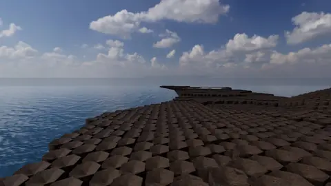
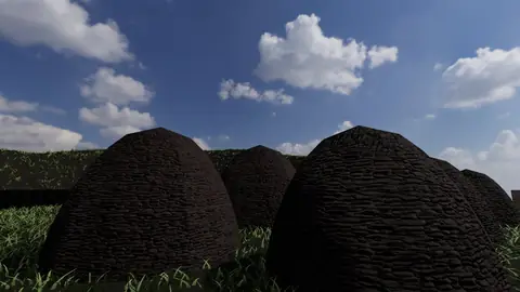
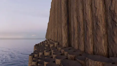
More wonders in 3D
Free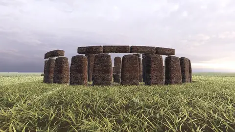 Pack
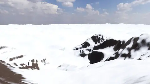 Pack
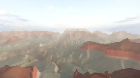 Pack
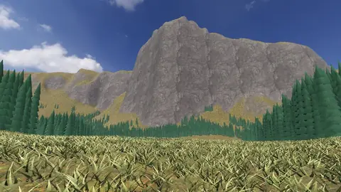 Pack
 Pack
 Pack
 Pack
 Pack
 Pack
Stonehenge
Midwinter sunset on the axis
Everest summit ridge
Real elevation data · 8,849 m
Grand Canyon
USGS elevation · South Rim
Yosemite Valley
USGS elevation · beneath El Capitan
Avebury
The great henge
Newgrange
Exterior · the mound and kerb
Skara Brae
Neolithic village, Orkney
Callanish Stones
Isle of Lewis
Carnac
The Ménec alignments
Hadrian's Wall
Open LiDAR terrain · Housesteads