Gale Crater in 3D
Mars · the floor below Mount Sharp
Near the Martian equator, on the edge of the northern lowlands
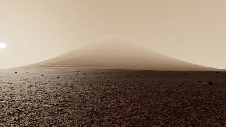
Gale Crater holds a 5.5 km mound of layered rock, Mount Sharp, each layer a record of Mars's past climate. You stand on the crater floor among dark basalt dunes, on mudstones laid down in a lake that lasted for millions of years. A rover has been climbing those layers since it landed here in 2012.
Key facts
- Where
- Near the Martian equator, on the edge of the northern lowlands
- Central mound
- Mount Sharp (Aeolis Mons), about 5.5 km of layered sediment
- Old lake
- Lasted millions of years, more than three billion years ago
- Rover
- Landed here in 2012
Walk Gale Crater in 3D
A real-time 3D model, shaped to published NASA and USGS elevation measurements. Loads 1.4 MB when you start.
Works in VR on Meta Quest and other WebXR headsets: open this page in the headset's browser, start the 3D walk, then choose View in VR.
Walk it yourself. Works on this phone.
Part of the Beyond Earth pack: a one-time unlock in this browser.
Building Gale Crater…
Shaped to NASA and USGS elevation measurements · a 3D reconstruction, not a photograph
Hear the guide
The narrator from the app reads each tour stop. Transcripts below.
-
Mount Sharp · Aeolis Mons
KnownA 5.5 km mound of layered sediment in the middle of the crater. Each layer is a page of Martian climate; the rover that landed here in 2012 has been reading them uphill ever since.
-
An ancient lakebed
KnownMudstones on this floor formed in a lake that lasted for millions of years, more than three billion years ago. Clays and the right chemistry for life were found here; life itself has not been.
-
The dark dunes
KnownBasalt sand, not red dust, builds the dunes along the mound's foot. They move a metre or so a year in the thin wind.
How we built it
A procedural model shaped to published NASA and USGS elevation measurements (MOLA, HiRISE). It is a reconstruction, not a photograph.

Open Gale Crater in Farstep
The full site on your phone: a narrated guided tour, passport stamps, offline, and smoother graphics than a browser can give.
- Narrated guided tour, stop by stop, in nine languages
- Passport stamps for every hotspot and finished tour
- Works offline once installed
- Stonehenge free; other sites are one-time packs. No ads, no subscription.
Open in Farstep
On iPhone the button opens the App Store.
Gale Crater: questions and answers
What is in Gale Crater?
Mount Sharp (Aeolis Mons), a mound of layered rock about 5.5 km high, rising from a floor of old lake mudstones. A rover has been climbing it since 2012.
Was there water in Gale Crater?
Yes. Its mudstones were laid down in a lake that lasted millions of years, more than three billion years ago.
Can I walk around Gale Crater in 3D?
Yes, in your browser. Everything on this page is free to read. Walking Gale Crater in 3D is part of the Beyond Earth pack: a one-time purchase with no subscription, and signing in with the same account unlocks it in the Farstep app too.
Can I walk Gale Crater in VR?
Yes, on a Meta Quest or another WebXR headset: open this page in the headset's browser, start the 3D walk, then choose View in VR. The left stick walks, the right stick turns and the trigger opens the fact cards.
More in Beyond Earth


More wonders in 3D
Free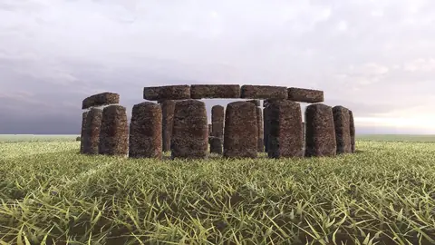 Pack
 Pack
 Pack
 Pack
 Pack
 Pack
 Pack
 Pack
 Pack
Stonehenge
Midwinter sunset on the axis
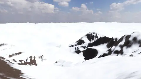
Everest summit ridge
Real elevation data · 8,849 m
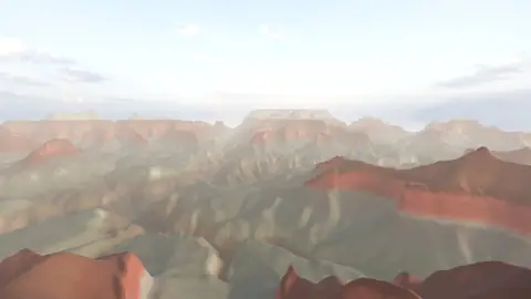
Grand Canyon
USGS elevation · South Rim
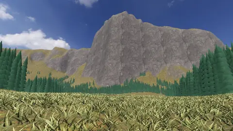
Yosemite Valley
USGS elevation · beneath El Capitan
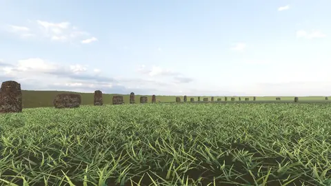
Avebury
The great henge
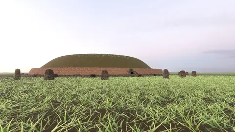
Newgrange
Exterior · the mound and kerb
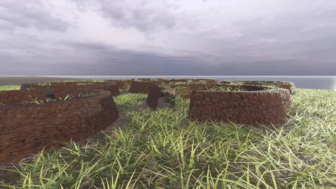
Skara Brae
Neolithic village, Orkney
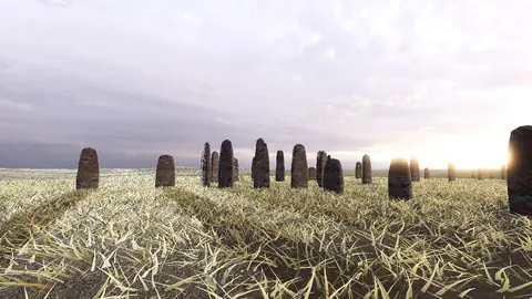
Callanish Stones
Isle of Lewis
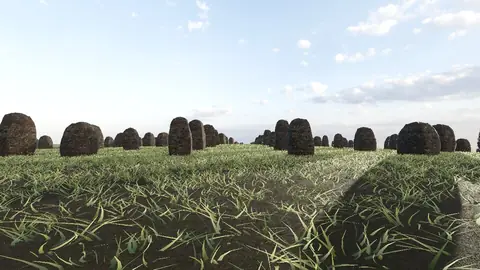
Carnac
The Ménec alignments
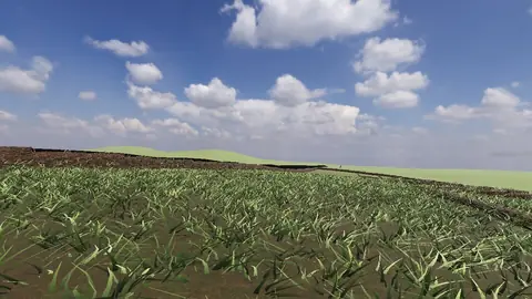
Hadrian's Wall
Open LiDAR terrain · Housesteads