Hallstatt in 3D
The lakeside village
Salzkammergut, Upper Austria
Hallstatt is a village squeezed between a mountain and the Hallstätter See. Salt has been mined in the mountain above it for more than 3,000 years, and the early Iron Age Hallstatt culture is named after the graves found up there from 1846. Until a lakeside road was cut in 1890, the village could be reached only by boat or over the mountain paths.
Key facts
- Where
- Salzkammergut, Upper Austria
- Salt mining
- More than 3,000 years, since the Bronze Age
- The lake
- About 508 m above sea level, up to 125 m deep
- Lakeside road
- Only since 1890
- UNESCO World Heritage
- 1997
Walk Hallstatt in 3D
A real-time 3D model, built from open elevation data and published measurements. Loads 2.4 MB when you start.
Works in VR on Meta Quest and other WebXR headsets: open this page in the headset's browser, start the 3D walk, then choose View in VR.
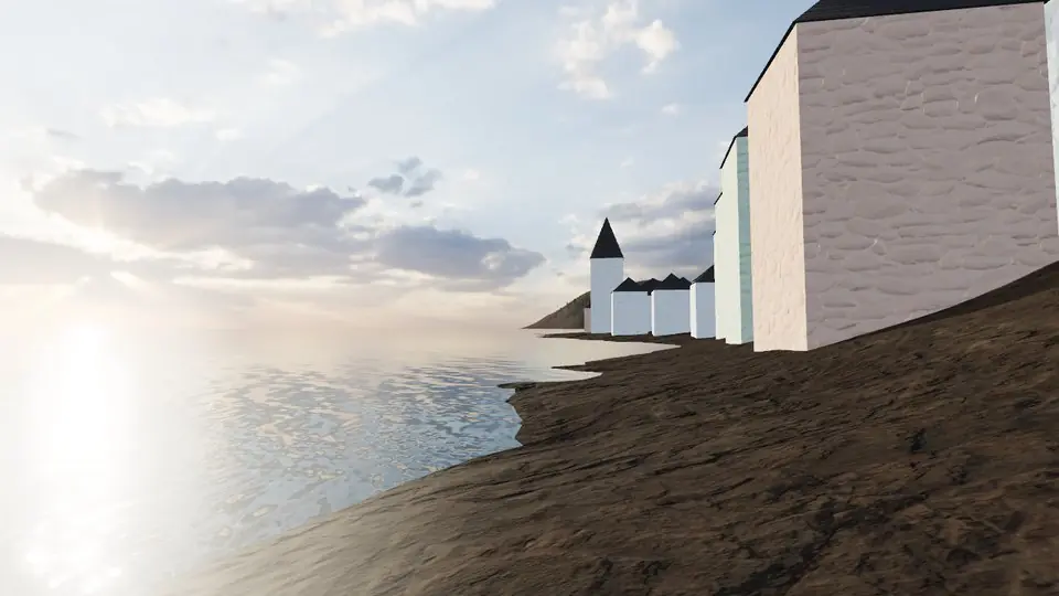
Walk it yourself. Works on this phone.
Part of the Alpine Summits pack: a one-time unlock in this browser.
Building Hallstatt…
Terrain from open elevation data · a 3D reconstruction, not a photograph · tags as in the app
Hear the guide
The narrator from the app reads each tour stop. Transcripts below.
-
The Protestant church
KnownBuilt in 1863 right on the shore; its slender spire is the one in most pictures of the village.
-
Salt
KnownSalt was already being mined in the mountain above the village in the Bronze Age, more than 3,000 years ago. The early Iron Age Hallstatt culture is named after the graves found up there from 1846.
-
Hallstätter See
KnownThe lake lies at about 508 m and is up to 125 m deep. Until a lakeside road was cut in 1890, the village could be reached only by boat or over the mountain paths.
How to visit Hallstatt
Hallstatt is reached by road, by train to the station across the lake and a short ferry, and by boat. It is a small, lived-in village that gets very busy: go early or late.
Access, seasons and permits change: check locally before you go.

Open Hallstatt in Farstep
The full site on your phone: a narrated guided tour, passport stamps, offline, and smoother graphics than a browser can give.
- Narrated guided tour, stop by stop, in nine languages
- Passport stamps for every hotspot and finished tour
- Works offline once installed
- Stonehenge free; other sites are one-time packs. No ads, no subscription.
Open in Farstep
On iPhone the button opens the App Store.
Hallstatt: questions and answers
Why is Hallstatt famous?
For salt mined in the mountain above it for more than 3,000 years, for the Iron Age Hallstatt culture named after its graves, and for its lakeside village.
How do you get to Hallstatt?
By road, by train to the station across the lake and a short ferry, or by boat. Until 1890 there was no lakeside road at all.
Can I walk around Hallstatt in 3D?
Yes, in your browser. Everything on this page is free to read. Walking Hallstatt in 3D is part of the Alpine Summits pack: a one-time purchase with no subscription, and signing in with the same account unlocks it in the Farstep app too.
Can I walk Hallstatt in VR?
Yes, on a Meta Quest or another WebXR headset: open this page in the headset's browser, start the 3D walk, then choose View in VR. The left stick walks, the right stick turns and the trigger opens the fact cards.
More in Alpine Summits
More wonders in 3D
Free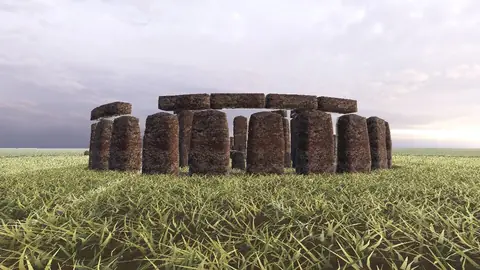 Pack
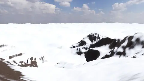 Pack
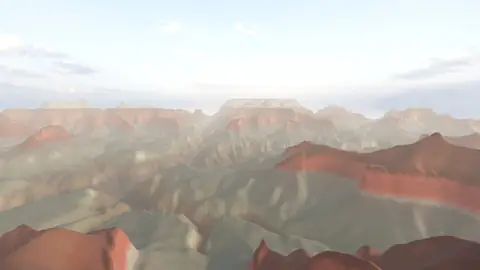 Pack
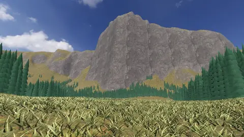 Pack
 Pack
 Pack
 Pack
 Pack
 Pack
Stonehenge
Midwinter sunset on the axis
Everest summit ridge
Real elevation data · 8,849 m
Grand Canyon
USGS elevation · South Rim
Yosemite Valley
USGS elevation · beneath El Capitan
Avebury
The great henge
Newgrange
Exterior · the mound and kerb
Skara Brae
Neolithic village, Orkney
Callanish Stones
Isle of Lewis
Carnac
The Ménec alignments
Hadrian's Wall
Open LiDAR terrain · Housesteads