American Parks II · Farstep pack
Horseshoe Bend in 3D
The Colorado River, 300 m below
Near Page, Arizona, USA
At Horseshoe Bend the Colorado River loops some 270 degrees round a spur of Navajo Sandstone, about 300 m below the rim. It is an entrenched meander: the river kept its winding course as it cut down into rising rock. Water released from deep in Lake Powell, 8 km upstream, keeps the river cold and green.
Key facts
- Where
- Near Page, Arizona, USA
- Drop
- About 300 m to the river
- The bend
- About 270 degrees round a sandstone spur
- Upstream
- Glen Canyon Dam, completed 1966
Walk Horseshoe Bend in 3D
A real-time 3D model, built from open elevation data and published measurements. Loads 2.3 MB when you start.
Works in VR on Meta Quest and other WebXR headsets: open this page in the headset's browser, start the 3D walk, then choose View in VR.
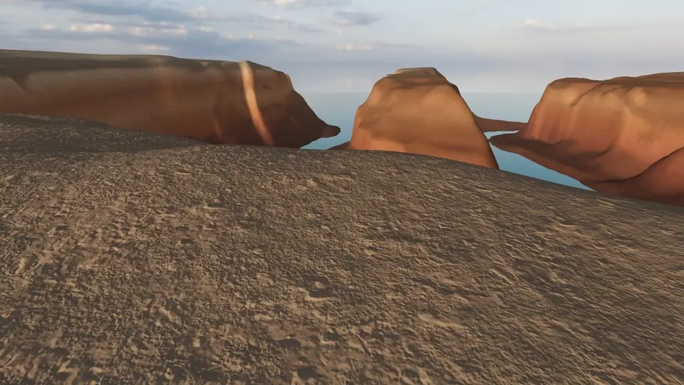
Walk it yourself. Works on this phone.
Part of the American Parks II pack: a one-time unlock in this browser.
Building Horseshoe Bend…
Terrain from open elevation data · a 3D reconstruction, not a photograph · tags as in the app
Hear the guide
The narrator from the app reads each tour stop. Transcripts below.
-
Horseshoe Bend
KnownThe Colorado River loops some 270 degrees round a sandstone spur, about 300 m below the rim. It is an entrenched meander: the river kept its winding course as it cut down into rising rock.
-
Navajo Sandstone
KnownThe walls are Navajo Sandstone, the dunes of a vast desert about 190 million years old. Dark streaks of desert varnish run down the cliffs.
-
Glen Canyon Dam
KnownAbout 8 km upstream, Glen Canyon Dam, completed in 1966, holds back Lake Powell. Water released from deep in the lake keeps the river cold, clear and green.
How to visit Horseshoe Bend
A short walk from a parking area leads to the overlook. Parts of the rim have no railing, and the sand trail is hot in summer.
Opening times and tickets change: check the official site. Official site

Open Horseshoe Bend in Farstep
The full site on your phone: a narrated guided tour, passport stamps, offline, and smoother graphics than a browser can give.
- Narrated guided tour, stop by stop, in nine languages
- Passport stamps for every hotspot and finished tour
- Works offline once installed
- Stonehenge free; other sites are one-time packs. No ads, no subscription.
Open in Farstep
On iPhone the button opens the App Store.
Horseshoe Bend: questions and answers
How deep is Horseshoe Bend?
About 300 m from the rim down to the Colorado River.
How long is the walk to Horseshoe Bend?
A short walk from the parking area to the overlook. Parts of the rim have no railing.
Can I walk around Horseshoe Bend in 3D?
Yes, in your browser. Everything on this page is free to read. Walking Horseshoe Bend in 3D is part of the American Parks II pack: a one-time purchase with no subscription, and signing in with the same account unlocks it in the Farstep app too.
Can I walk Horseshoe Bend in VR?
Yes, on a Meta Quest or another WebXR headset: open this page in the headset's browser, start the 3D walk, then choose View in VR. The left stick walks, the right stick turns and the trigger opens the fact cards.
More in American Parks II
More wonders in 3D
Free Pack
 Pack
 Pack
 Pack
 Pack
 Pack
 Pack
 Pack
 Pack
Stonehenge
Midwinter sunset on the axis
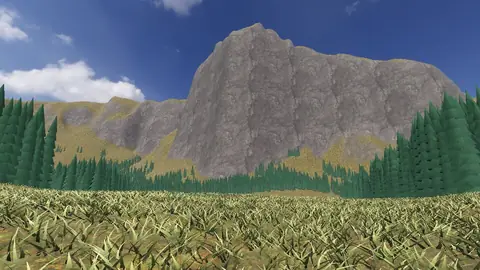
Everest summit ridge
Real elevation data · 8,849 m
Grand Canyon
USGS elevation · South Rim
Yosemite Valley
USGS elevation · beneath El Capitan
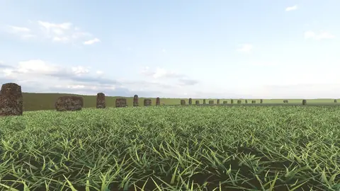
Avebury
The great henge
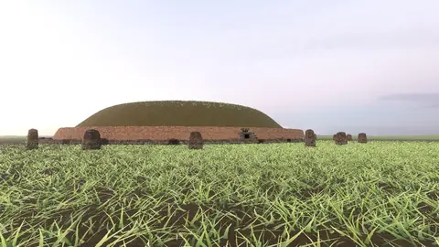
Newgrange
Exterior · the mound and kerb
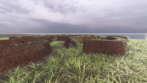
Skara Brae
Neolithic village, Orkney
Callanish Stones
Isle of Lewis
Carnac
The Ménec alignments
Hadrian's Wall
Open LiDAR terrain · Housesteads